Using drones (UAVs – Unmanned Aerial Vehicles) for commercial property surveys offers a range of powerful advantages over traditional methods, especially in terms of efficiency, accuracy, safety, and cost.
Here’s a breakdown of the key benefits of drone commercial surveys:
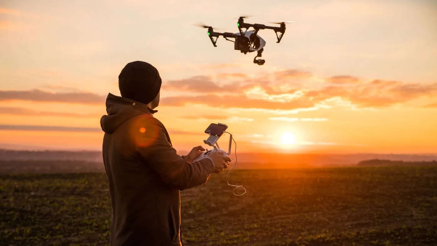
Benefits of Drone Surveys for Commercial Properties
1. 🚀 Faster Data Collection
- Drones can cover large properties in minutes or hours compared to days with traditional land surveys.
- Useful for time-sensitive transactions, development planning, or property inspections.
2. High Accuracy & Detail
- Equipped with high-resolution cameras, LiDAR, and GPS systems, drones can produce:
- Precise orthomosaic maps
- 3D models and elevation data
- Contour lines, slope analysis, and volumetric calculations
- Ideal for:
- Construction site planning
- Topographic surveys
- Mapping utility infrastructure
3. Cost-Effective
- Reduced manpower and time = lower overall survey costs.
- Particularly beneficial for large, hard-to-access, or undeveloped commercial sites.
4. Enhanced Aerial Perspective
- Bird’s-eye views provide visual context of the entire property, including:
- Roof condition
- Parking layout
- Landscaping
- Surrounding developments
5. ⚠️ Improved Safety
- Drones can inspect dangerous or hard-to-reach areas (e.g., rooftops, unstable terrain) without putting personnel at risk.
6. Advanced Data Outputs
- Deliverables can include:
- Orthophotos (geo-referenced images)
- Digital Surface Models (DSM)
- Digital Terrain Models (DTM)
- 3D point clouds
- Volumetric reports (stockpile measurements, cut/fill analysis)
7. Better Documentation & Records
- Data is easily archived and compared over time, allowing for:
- Monitoring construction progress
- Auditing maintenance work
- Validating property conditions for insurance or legal matters
Use Cases in Commercial Real Estate
| Use Case | How Drone Survey Helps |
|---|---|
| Pre-purchase due diligence | Visual inspection of the entire property, terrain analysis |
| Development planning | Topographic data for grading, site layout |
| Marketing | Aerial photos and videos for listings |
| Asset inspections | Roofs, HVAC systems, solar panels, hardscape |
| Insurance assessments | Document condition pre/post claim events |
| Construction monitoring | Track progress and contractor compliance |
Common Technologies Used
- RTK GPS: For survey-grade positional accuracy
- LiDAR sensors: For dense vegetation or highly accurate terrain models
- Multispectral cameras: For vegetation health or thermal scans
- Photogrammetry software: To stitch aerial images into maps/models
Limitations to Consider
- Airspace regulations: Drone flights may be restricted near airports or urban zones
- Weather sensitivity: Wind, rain, and poor visibility affect performance
- Line-of-sight rules: May limit range unless BVLOS (Beyond Visual Line of Sight) waiver is granted


| Use Case | How Drone Survey Helps |
|---|---|
| Pre-purchase due diligence | Visual inspection of the entire property, terrain analysis |
| Development planning | Topographic data for grading, site layout |
| Marketing | Aerial photos and videos for listings |
| Asset inspections | Roofs, HVAC systems, solar panels, hardscape |
| Insurance assessments | Document condition pre/post claim events |
| Construction monitoring | Track progress and contractor compliance |
Send us an enquire