modern agency
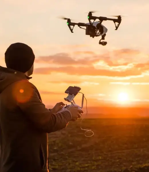
Unleashing the full potential of drones
Drone services encompass a wide range of applications leveraging unmanned aerial vehicles (UAVs) or drones to capture data and perform tasks. These services have become increasingly popular due to their efficiency, cost-effectiveness, and unique perspectives.

The art of aerial Survey & Applications
Aerial Photography and Videography: Capturing stunning visuals for real estate, events, marketing, and Thermal imaging survey inspections.
Inspection and Monitoring:
Renewable Energy thermal Inspections, Examining infrastructure, power lines, crops, and other assets for damage or anomalies.
Mapping and Surveying: Creating detailed maps and 3D models for construction, agriculture, and land management.
Solar Thermal Survey
0
Projects
0
Drones
0
Years
0
Offices

