a bird's eye view

beyond the eye

3D & 2D Gaussian Optics

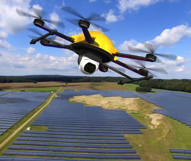
Thermal drones equipped with infrared cameras are revolutionizing the way solar PV systems are inspected and maintained. By capturing heat signatures, these drones can quickly and efficiently identify potential issues within solar panels, significantly improving system performance and longevity.
Thermal Imaging: Drones equipped with thermal cameras can detect:
Hotspots
Faulty panels
Connection issues
Cleaning assessment
Aerial Survey Services
Aerial surveying has a wide range of uses across various industries. Aerial surveys can cover large areas in a fraction of the time compared to traditional ground-based methods. surveys can produce highly detailed maps, 3D models, and elevation models that are extremely accurate, even in complex terrain. Thermal Image surveys detects temperature variations without needing to physically touch the object or area being surveyed, especially useful for fault finding on Solar Farms or electrical equipment.
Thermal cameras provide immediate visual feedback, making it easy to identify hot or cold spots during surveys.
Time-Saving: Large areas can be scanned in a short amount of time, and multiple surveys can be conducted quickly, which increases overall survey efficiency.

Solar Farm Survey Faults
Services that we are happy to offer

Capturing deatailed landscapes
Dynamic shots: Capturing movement and action with a sense of scale and drama
Take a look at things from a different angle with 2D & 3D
Storytelling: Using aerial footage to enhance storytelling and create emotional impact.
Environmental study for global warming
Technology: Relying on advanced thermal drones, cameras, and stabilisation systems.
Private and commercial aerial photography and videos, crafted with intelligence, precision and creativity
Ian Gilfedder
Creative Director
We take the best footage
By capturing footage from above, aerial videography offers unique perspectives and a dynamic way to showcase landscapes, cities, events, and more. It’s become an essential tool for filmmakers, real estate agents, and businesses alike

